Tip: Use Google Maps to Go Back in Time
- Paul Thurrott
- May 18, 2022
-
8
Google Maps has a cool feature that lets you view Street View imagery from various points in the past. It’s like time travel!
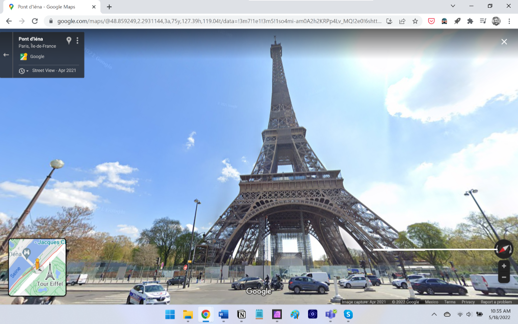
I’m sure that most people are familiar with the Street View feature in Google Maps (on the web): You find a location in Maps, select the Browse Street View images icon (it resembles a little yellow stickman) inn the lower right, and then drag it to any highlighted area on the map to see that thing as if you were there. For example, here’s what Street View looks like for the Eiffel Tower in Paris.
Street View is fun and useful for any number of reasons. For example, I’ve used it with a VR headset to virtually “walk” around different locations. But there’s a fairly recent new feature that is particularly nice: you can “go back in time” and see the current view as it was in the past. Your options will vary by location, but you should see several years of choices. And you access this new feature by selecting the clock icon in the upper right when in Street View:
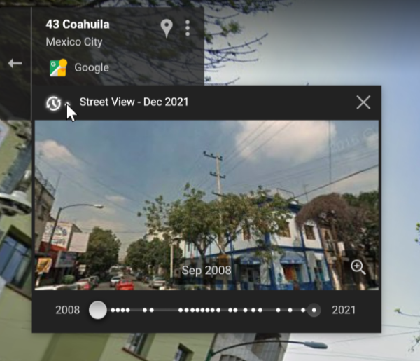
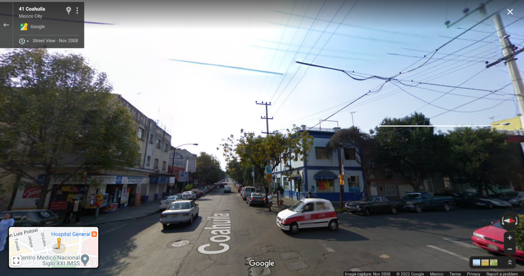
Here’s what it looks like for the building that houses the apartment we just purchased over time.
November 2008
April 2019

March 2021

Current

I’ve been looking at various locations to see the differences. In our area of Mexico City, for example, I can go back to 2008. But our previous home in Dedham, Massachusetts only has images dating back to 2012.
Pretty cool.